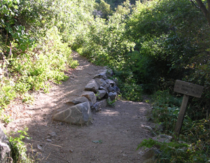
This is about a quarter-mile from the trailhead, where the Bonneville Shoreline trail splits off. Oddly, the sign here says it's 5.6 miles to the summit, which is the same distance as on the trailhead sign. I started about 9 am.
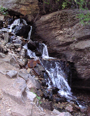
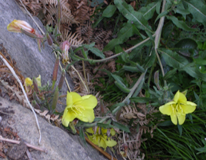
These were some mountain flowers (some sort of primrose?) that I found attractive, so I photographed them. This is an area near the waterfall shown at left. It's not a spectacular waterfall, but I thought it was nice. Time: 9:25 am.
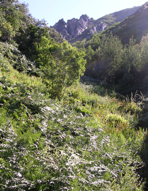
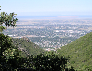
The area shown at left is called Fern Valley because it is so lush and damp. There really are a lot of beautiful ferns there. The view behind was pretty impressive. This shows Fremont Island, the smaller of the two islands visible near the east shore of Great Salt Lake. Time: 10:07 am.
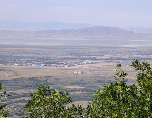
Just before you "turn the corner" and lose sight of the lake and valley, you get a great view of Antelope Island. Time: 10:42 am.
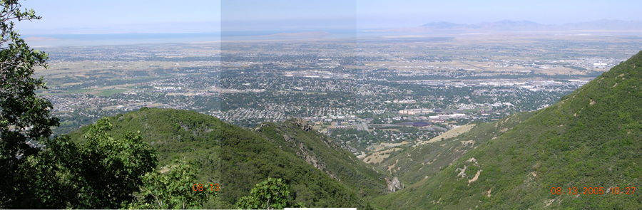
Panoramic view of the valley at about 1/3 of the way up. Time: 10:27 am.
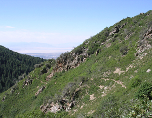
This view from the middle 1/3 of the trail shows the path behind. The last person I met on the trail was around here. He described this as "the difficult 1/3". It's not hard in terms of ascent, but it drags on seemingly forever. There is a lot of foliage whipping your legs and not much to see. Time: 11:01 am.
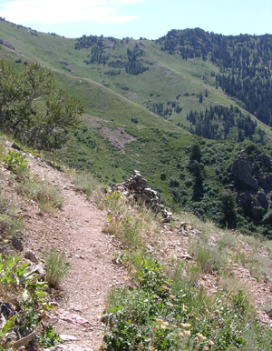
About halfway up, you begin to see rock cairns marking the path. This time of year, it's not too hard to follow, but I bet these can be handy when the path is overgrown. The back side of Snow Basin is seen in the distance. Time: 11:42 am.
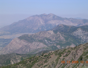
After the slow, painful middle third, you again turn a corner and begin ascending the west face of the mountain. From here, there is a spectacular view of Ben Lomond. Time: 12:30 pm.
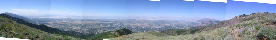
Panoramic view of the Ogden area from about 2/3 of the way up the trail. Ben Lomond is visible toward the right side of the picture. The summit is the tiny thing at far right. Time: 12:30 pm.
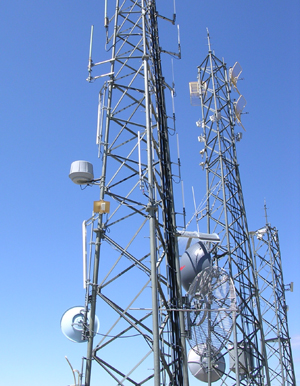
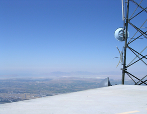
Disappointingly, the summit is covered with a helipad. I expected the towers — you can see those from Ogden — but I did not expect the helipad. It's a hard climb the last 100 yards or so. You have to scramble up a rock face and I would expect that last little bit took me more than a half-hour. I was pretty tired by then and even more tired when I got to the top. I still had a
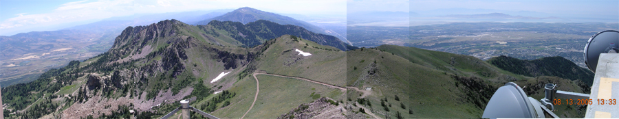
View from the summit. The road up from Snow Basin is in the middle of the picture. You can also see a set of tanks where the Beus Canyon trail meets the road to the summit (the little white spot toward the middle). Time: 1:33 pm.